| |
gison3dmap >> Examples >> Herdade da Contenda |
<< back |
|
| |
|
|
| |
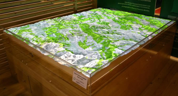
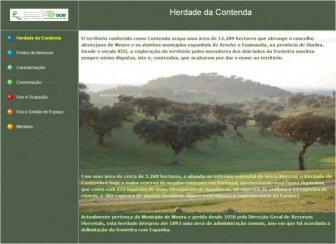
A presentation of Herdade da Contenda, a National hunting area with 5268 ha managed by DGRF (Direcção Geral das Florestas), the Portuguese forest service, was made on May 2008 at the DGRF booth during Expocaça 2008, the major Portuguese hunting fair, using a 1:5500 scale, 206 x 160 cm 3D map, and a gison3dmap system equiped with 4 video projectors.
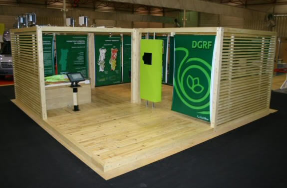
In the two following two images, one can see, on the left, the DGRF booth made of four 3x3 meter pine wood modules, and, on the right, a closer look of the module where the 3D map and the projection system were installed.
 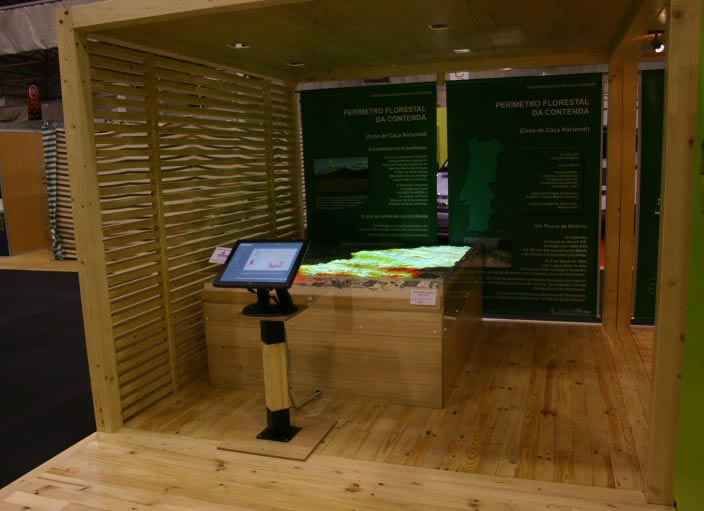
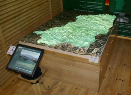
Visitors of the DGRF booth were able to interact with this system, and navigate through the Herdade da Contendaf thematic contents, by means of a touch screen mounted on a pedestal, in front of the 3D map.
|
|
| |
The following two images show, on the left, the initial application screen where visitors could read a short description of the Herdade da Contenda story, and see, on the right, the Herdade da Contenda area highlighted on top of the 3D map.
|
|
| |
|
|
| |
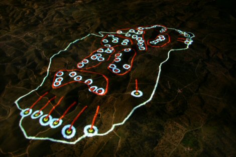
The application thematic contents include points of interest, the physical characterization of the territory, natural conservation, land use and land managment themes, and the organization of a "montaria" (a javali hunting schema).
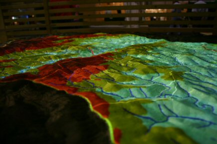
The two following images show a detailed view of a hypsometric map projected on top o the 3D map (on the left), and a montaria plan (on the right) where ine can see the hunting gates divided by hunting groups, and the hounds starting locations and routes.
|
|
| |
|
|
| |
One of the new capabilities of this system, not used in this instalations, is the possibility to control the visualization of an external video, synchronized with the projection of geographic contents on top of the 3D map.
Using the gison3dmap ArcGIS client, DGRF technicians can project other geographic data directly from their GIS desktop systems, as in the following example, where one can see a visibility map calculated from two potential forest observation points, projected on top of the Herdade da Contenda 3D map.
|
|
| |
|
|
| |
|
|
| |
|
|
| |
On September 2008 the Herdade da Contenda 3D Map and projection system was shown at the Badajoz Hunting and Fishing Fair (FECIEX'08), as seen in the following video.
|
|
| |
|
|
| |
|
|
| |
|
|
| |
^ top |
|
|