| |
gison3dmap >> Examples >> Companhia das Lezírias |
<< back |
|
| |
|
|
| |
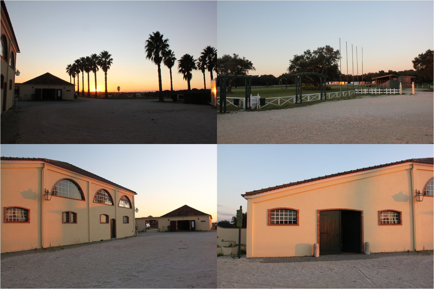
Companhia das Lezírias is the largest agriculture and cattle-breeding company in Portugal, occupying 20,000 hectares of land just 30km from Lisbon, across Vasco da Gama Bridge and Vila Franca de Xira Bridge. The property includes extensive agricultural and forest areas and also dams. Recently, the Companhia das Lezírias has developed and expanded its tourism activities.
|
|
| |
|
|
| |
 |
|
| |
|
|
| |
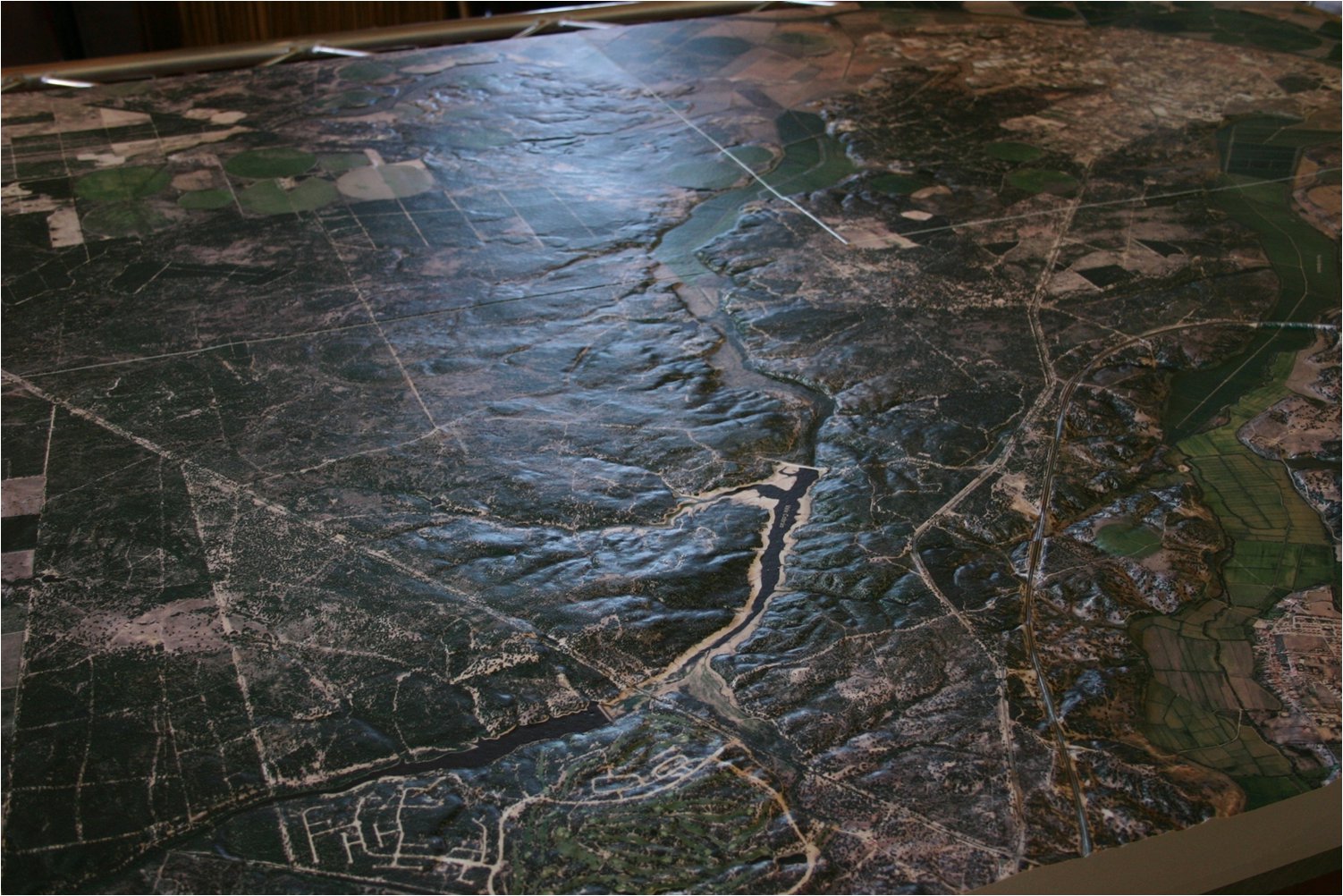
Since January 2012 that Companhia das Lezirias has an operational gison3dmap system installed at "Coudelaria" with a 1:10000 scale 3D map of the "Herdade da Charneca".
Despite the terrain relief is only 63 meters, and that even with a 2.5 times exageration factor the relief at the model scale is less than 2 centimetes, the model quality is excepcional. As it can be observed in the image next, each small terrain nuance is easily perceptible.
|
|
| |
|
|
| |
 |
|
| |
|
|
| |
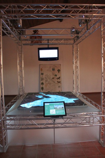
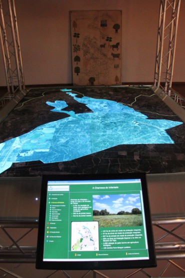
This gison3dmap system is installed on a aluminium truss structure. Four projectors, a touch screen and a LCD screen used for the presentation of images and videos, are visible on the structure. The remaining components are located beneath the terrain model.
The images next one can see on the left a general look of the system, with a projection of the Charneca farm area, as well as a detailed view of this same projection (on the right) with the touch screen in the foreground..
|
|
| |
|
|
| |
|
|
| |
|
|
| |
The Coudelaria visitors interact with the system using the touch screen and navigating on the contents of the Charneca multimedia application. By doing this they control the related geographic information themes which are projected on top of the 3D solid terrain model, viewing simultaneously related images on the LCD screen located on the oposite side of the structure.
One of the components of this visitors experience is the visualization of a Companhia das Lezírias institutional video, together with the synchronized projection of related geographic information on top of the Charneca farm 3D solid terrain model.
|
|
| |
|
|
| |
^ top |
|
|